Photogrammetry
- Home
- Photogrammetry
Photogrammetry
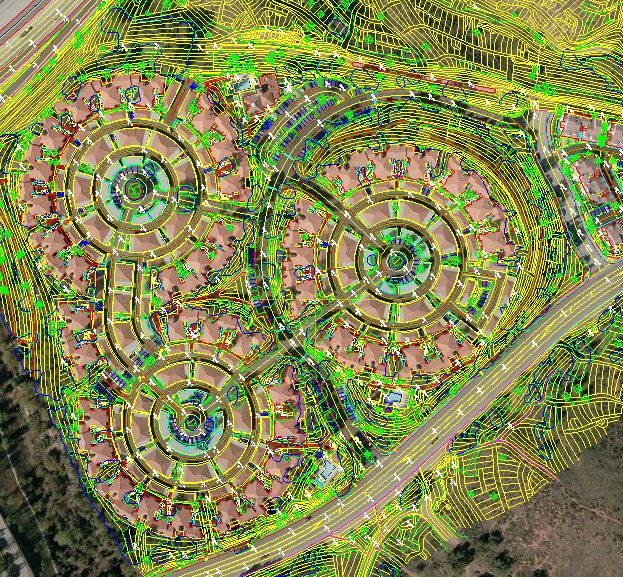
LMT focuses on producing the highest quality map for the engineering companies to meet demanding needs of the project.
We produce Topographic and Planimetric maps for the applications in GIS, Golf-Course management, Property management, Water\Sewer design, DOT and Park design.
Services offered included:
- Aerial Triangulation
- Topographic/Planimetric Mapping and Updating
- DEM/DTM/ Contour Generation
- 3D City and Feature Modeling
Key Features
How can we help you?
Contact the Landmark Mapping Technologies office closest to you, or simply submit your business inquiry online.